
Cartographier les espaces aristocratiques. Domaines, forêts, jardins (Europe, XVIe-XIXe siècles) – Versailles (France)
22-23 October 2026
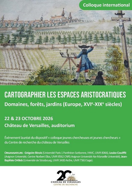
Mapping aristocratic estates: manors, forests and gardens (Europe, 16th–19th centuries)
Whether for the purpose of understanding or describing a territory, developing it, utilising it or promoting it, the map gradually established itself as one of the key tools for the appropriation of aristocratic spaces in modern Europe. This cartography, which has been extensively utilised by historians of parks and gardens, forests and estates, has, however, rarely been studied in its own right. This conference therefore aims to examine the ways in which maps were produced, utilised and disseminated, whilst exploring their role in the transformation of the environment and in the reshaping of an aristocracy that placed land ownership at the very foundation of its social identity. Whether in relation to parks, gardens, kitchen gardens, forests or, more broadly, estates, the production of maps serves a function that is as much practical as it is identity-defining.