| Identification et description | |
|---|---|
| Nom du jardin | Parc du Château de Trognée |
| Province | Liège |
| Arrondissement | Ware |
| Commune | Hannut |
| Coordonnées | château de Trognée4280, Trognée |
| Localisation | Latitude : 50.6639312 |
| Longitude : 5.124686300000008 |
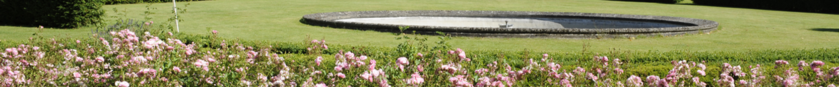
Quelques arbres isolés.
Potager : Jardin potager emmuraillé.
Carte topographique 1.20.000e (Dépôt de la Guerre) : 41/2
Carte topographique 1.10.000e (Institut Géographique National) : 41/2
Orthophotoplan 1.10.000e (Service Public de Wallonie) : 41/2/1
Le patrimoine monumental de la Belgique Wallonie, Liège, P. MARDAGA, 1972 à 1997, vol. 22, arr. de Waremme, notes dactylographiées, notice signée M.M.
Publié : non
Auteur du formulaire : Serge Delsemme / Nathalie de Harlez de Deulin
Date de création de la notice : 1993-07-23
Statut du jardin : privé
Accueil du public : fermé au public